Surveying is the art of determining the relative position of different objects on the surface of the earth by measuring the horizontal distances between them and by preparing a map to any suitable scale . Thus , in this discipline , the measurements are taken only in the horizontal plane .
The aim of surveying is to prepare a map to show the relative position of the objects on the surface of the earth . The map is drawn to some suitable scale . It shows the natural features of a country . Such as roads, villages, railways, rivers, etc. Maps are also include details of different engineering works .
Uses of Surveying :
- For preparing the contour map to determine the best possible route and amount of earthwork required.

contour map - For preparing the engineering map showing engineering details like highways, railways, canals, dams, reservoirs, etc.

engineering map - Maps prepared for marking boundaries of countries, states, districts etc., avoid disputes.

boundaries of countries - For preparing the topographical map which shows hills, rivers, forests, valleys, etc.

topographical map - For planning and estimating project works like roads, bridges, railways, airports, water supply and waste water disposal surveying is required.
- Marine and hydro-graphic survey helps in planning navigation routes and harbours.

world route map - For preparing a military map showing different strategic points important for the defence of a country.

military map - Mine surveys are required for exploring mineral wealth.
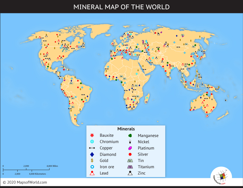
world mineral map - For preparing archaeological map showing the places where ancient relics may have lied.

archaeological map - Astronomical survey helps in the study of movements of planets and for calculating local and standard times.

Movement of planets
No comments:
Post a Comment